Download the Janet’s Foss, Gordale Scar and Malham Cove eBook
The eBook will guide you through the Janet’s Foss, Gordale Scar and Malham Cove route, step by step. No getting lost!
Risk Free
100% refund if you are unhappy with the ebook
View more information
Overview
Distance: 7 miles (11.5 km)
Height: 300 m (984 ft)
Difficulty: Hard (climbing Gordale Scar)
Estimated Time: 4 hours
Route: View in Google Maps.
GPX File: Download GPX file (desktop only) – What is a GPX file?
Map: OL02 Yorkshire Dales: Southern and Western Areas
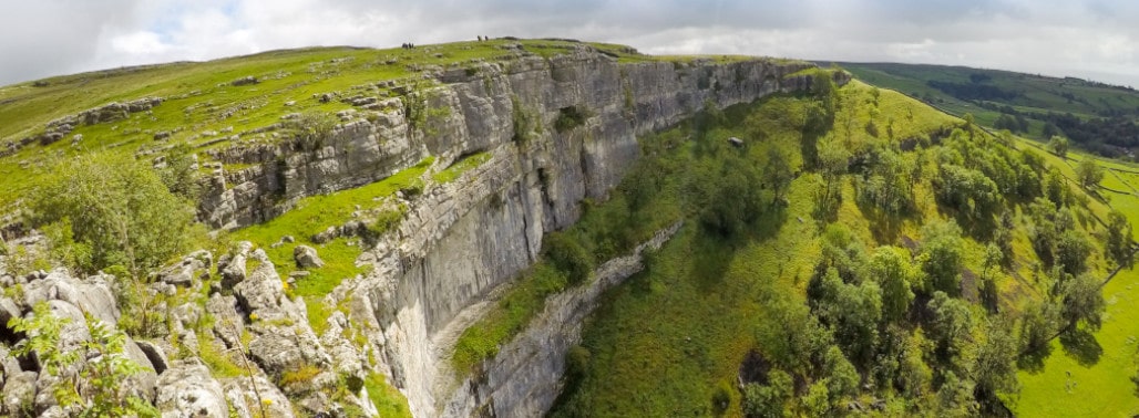
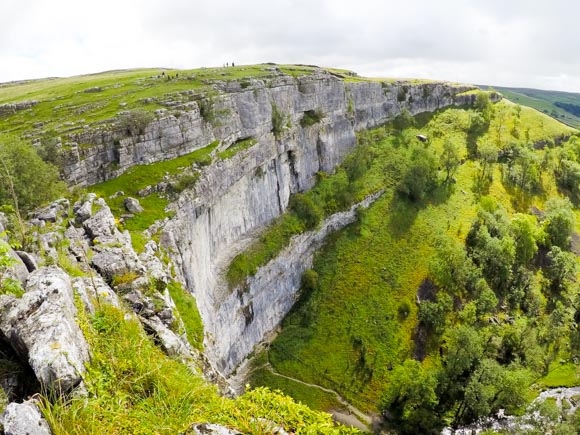
Malham Cove is one of the most visited attractions in the Yorkshire Dales.
Malham Cove used to be a waterfall. Erosion from the falling water created the curved shape of the cove. Water no longer falls from Malham Cove but is transported in underground streams. Malham Beck, a flowing stream at the bottom of Malham Cove, originates in a cave beneath Malham Cove.
After Storm Desmond in 2015, water was plunging down from the top of Malham Cove for the first time in centuries. A local filmed the temporary waterfall. The rare occurrence briefly topped Malham Cove as the highest single drop waterfall in England. Malham Cove is 80 m (260 ft) high, which is almost triple England’s usual top above-ground waterfall, Hardraw Force.
Harry Potter
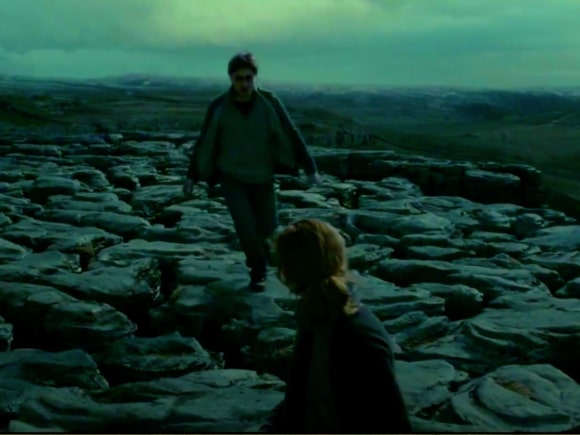
It’s not just the picturesque views that attract visitors to Malham Cove. The limestone rocks have appeared in Harry Potter and the Deathly Hallows (2019), Wuthering Heights (1992) and The Trip (2010).
Car Parking
The address for Malham Car Park is
Malham National Park Centre
Chapel Gate
Malham
BD23 4DA
It’s a large car park but it does get busy. It’s recommend to arrive early.
Prices
2 hours = £2.70
More than 2 hours = £4.80
There are toilets at the car park and a visitor centre with staff and information leaflets for the surrounding area. Proceeds from the car park go to maintaining the pathways in the Yorkshire Dales.
Public Transport
There are buses from Settle to Malham. Settle is well connected by train. You can view the bus times and plan your journey on Traveline.
Route
If your sole purpose is to visit Malham Cove you can make it from Malham village in less than 20 minutes. The following guide takes the scenic route.
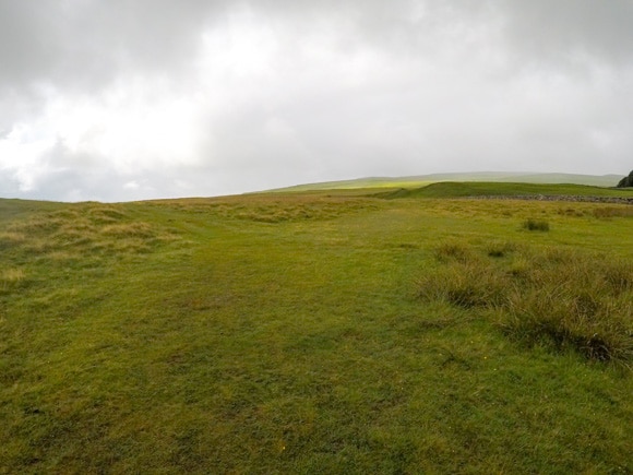
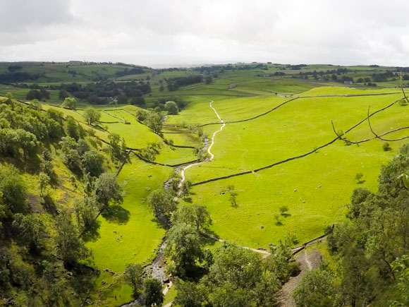
The route has a waterfall (Janet’s Foss), a climb and scramble (Gordale Scar), a visit to Malham Tarn, and reaches Malham Cove towards the end of the walk.
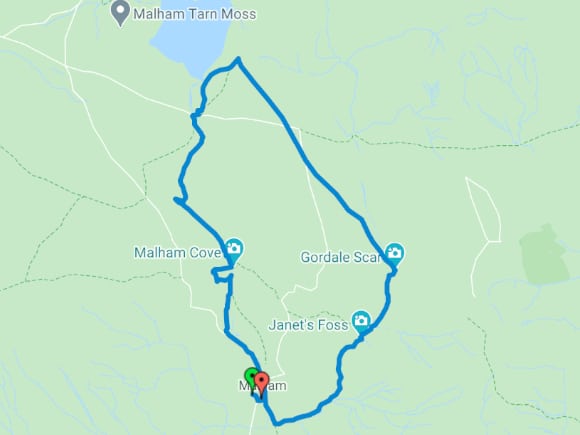
View route in Google Maps.
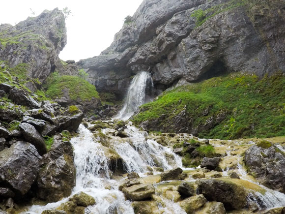
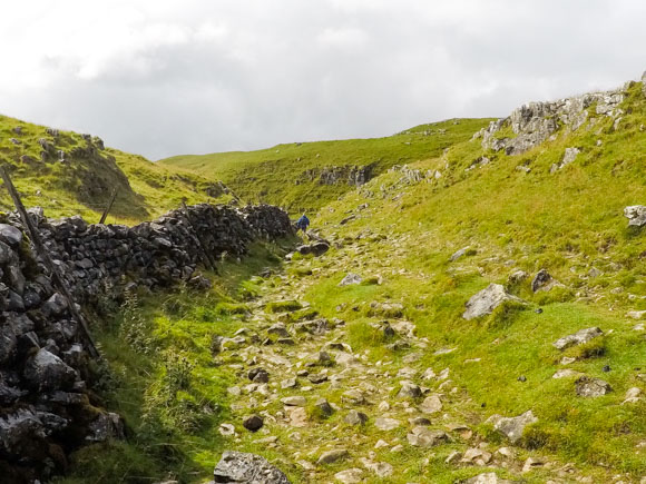
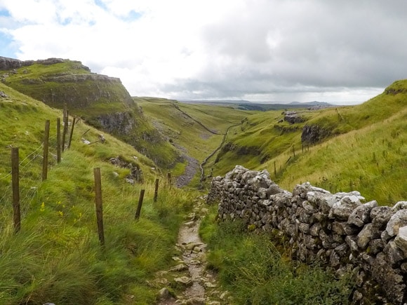
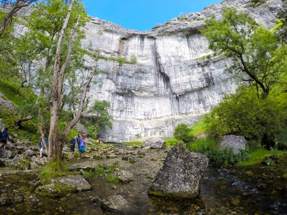
Gordale Scar
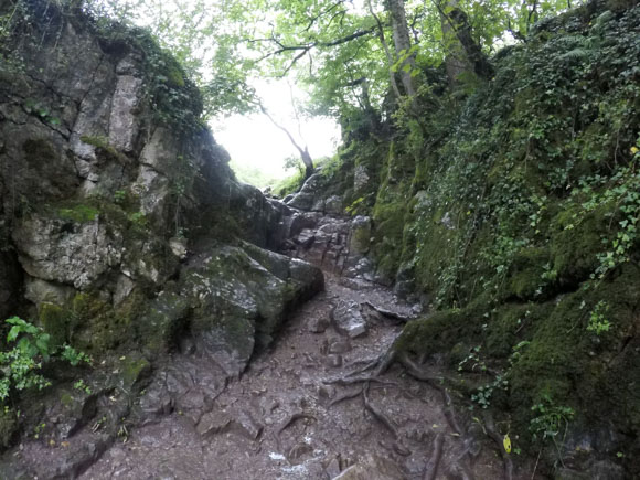
Gordale Scar is an enticing and exciting part of the Malham Cove route, but it won’t be for everyone. There’s a climb/scramble up the bottom section of Gordale Scar. The rocks can be slippery. No specialised climbing equipment is required but you must be comfortable with heights and climbing.
If you cannot complete Gordale Scar safely, you can take an alternative route to bypass Gordale Scar. The detour will add approximately one hour to your walk.
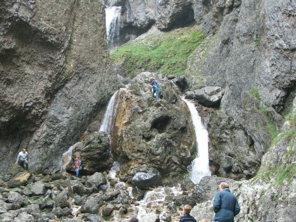
Image credit: Richard Heeley
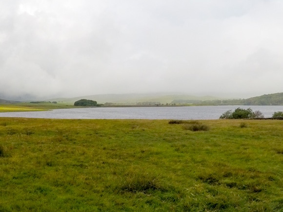
Malham Tarn
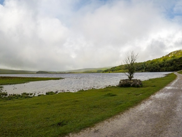
Malham Tarn is one of only eight upland alkaline lakes in Europe. At 377 metres (1,237 ft) above sea level it is also one of England’s highest lakes.
Malham Tarn is home to the only crayfish native to Britain, the white-clawed crayfish. The white-clawed crayfish are endangered due to invasive species from North America. In 2016, water voles were introduced to Malham Tarn, the biggest reintroduction of water voles in the UK.
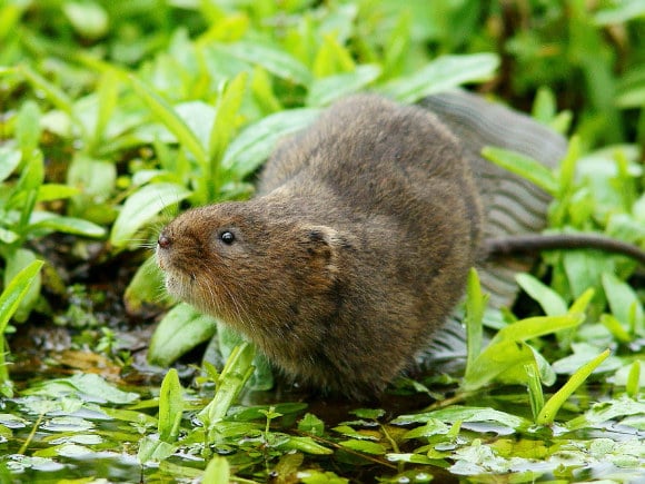
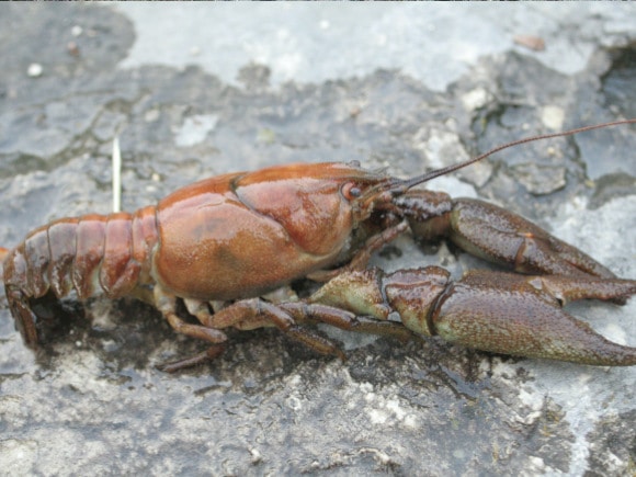
Image credit (vole): Peter Trimming
Image credit (crayfish): David Gerke
Malham Cove Route
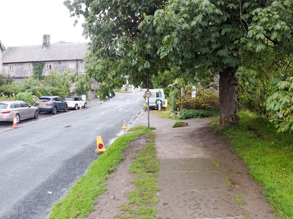
From the car park, head towards the Malham National Park Centre.
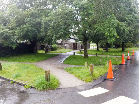
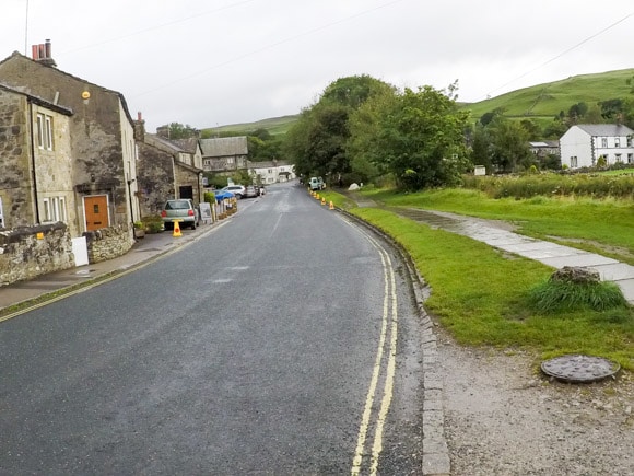
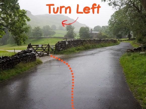
Turn left onto Chapel Gate road.
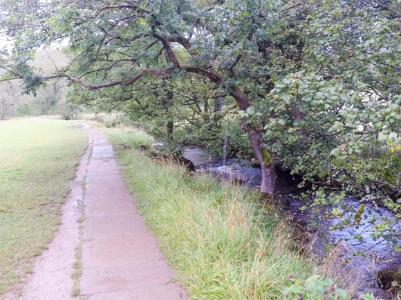
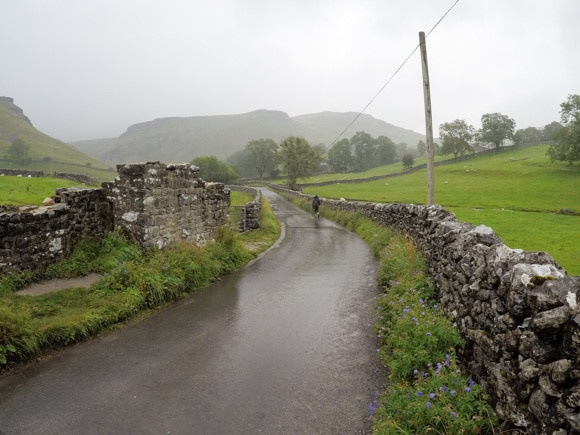
Malham Beck is on your right-hand side.
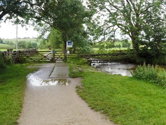
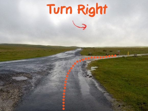
Just before the The Buck Inn, turn right over a little bridge crossing over Malham Beck.
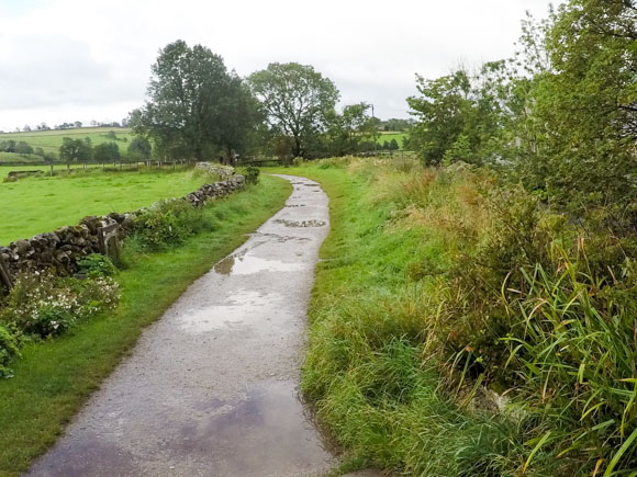
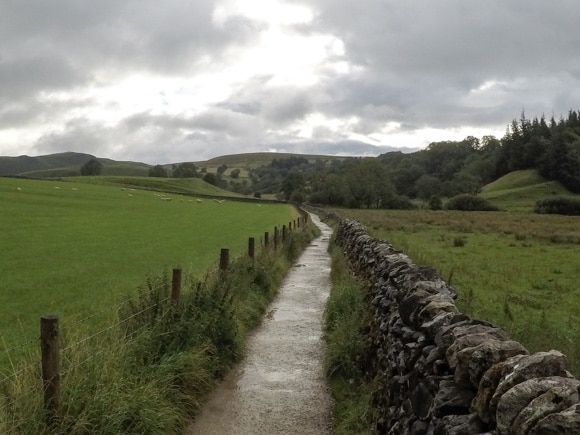
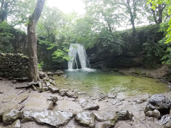
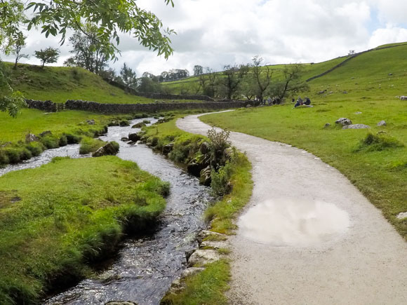
The route is level and clear to follow to Janet’s Foss.
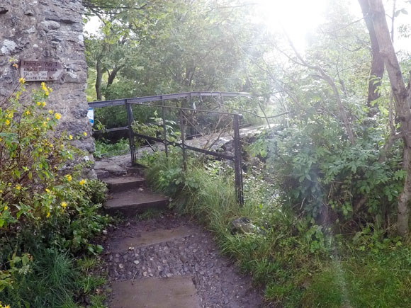
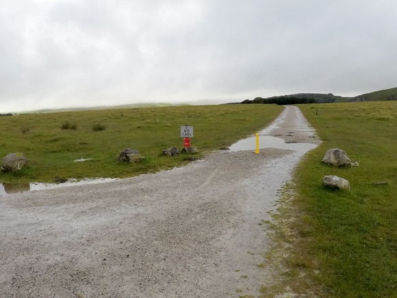
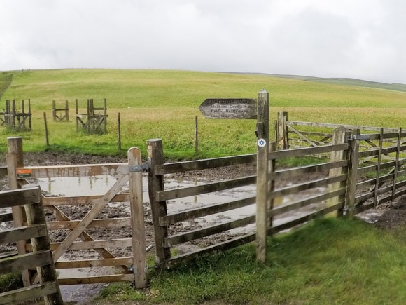
It is one mile to Janet’s Foss, identified by the signpost
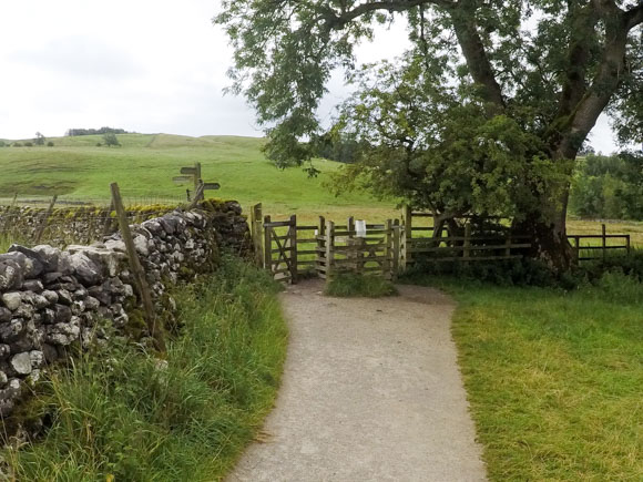
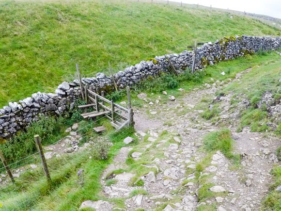
There’s a couple of gates to go through on your way to Janet’s Foss.
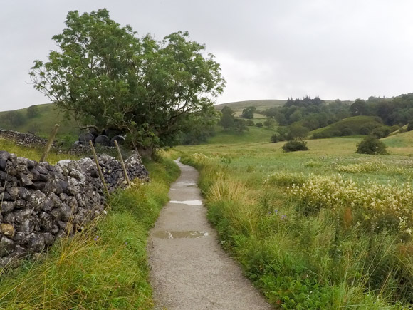
It’s a simple route to follow as Gordale Beck leads you to Janet’s Foss.
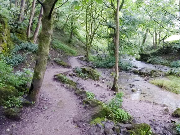
Head left up the steps to keep on the main path. It can be slippy in this area after rainfall.
In spring, you may be able to smell wild garlic in this area.
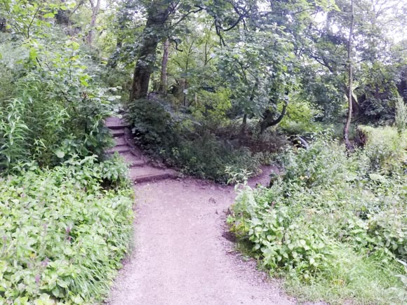
It’s slightly steep coming away from Janet’s Foss and the rocks are slippery when wet.
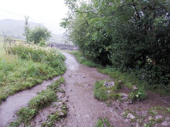
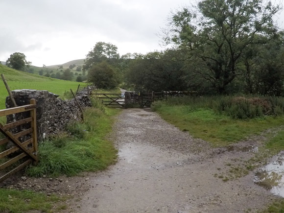
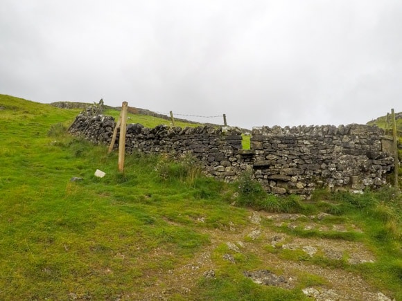
The path from Janet’s Foss leads you to Gordale Lane. Turn right onto the road.
After a couple of minutes walk, take the left turn from the road. This path leads to Gordale Scar.
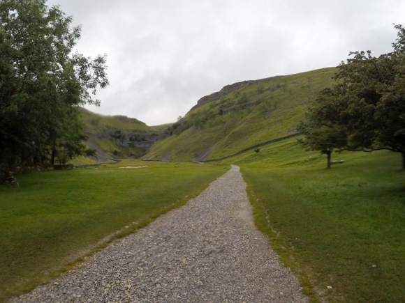
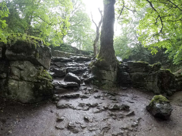
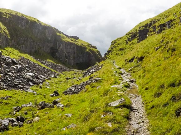
Gordale Scar is a remarkable place and a great scramble, but it’s not for everyone. Most people come for the view and not for the opportunity to climb Gordale Scar.
Gordale Scar is the reason this walk is labelled ‘hard’. If you are not comfortable climbing Gordale Scar, you can take an alternative route to Malham Tarn, which will add approximately one hour onto your walk.
Chances are you’ll get a bit wet climbing up Gordale Scar and that is part of the fun. Just take it slow and steady.
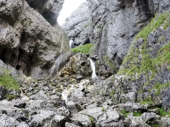
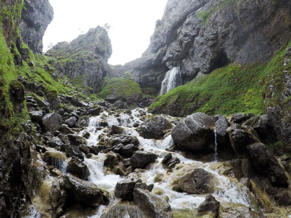
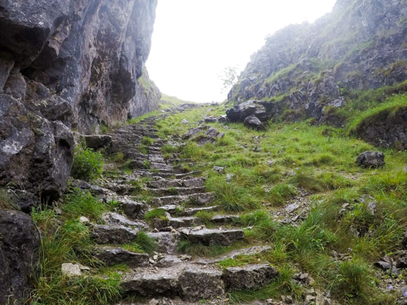
Gordale Scar is a difficult climb, but it’s a short one. Once you pass the waterfalls, it’s a steep incline of steps and a gravel path.
Download the Janet’s Foss, Gordale Scar and Malham Cove eBook
The eBook will guide you through the Janet’s Foss, Gordale Scar and Malham Cove route, step by step. No getting lost!
Risk Free
100% refund if you are unhappy with the ebook
View more information
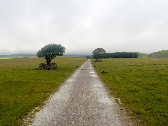
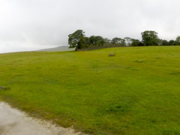
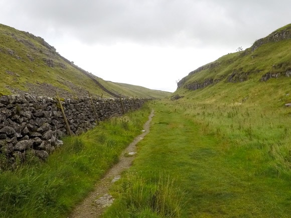
Once you reach the top, climb over the stile and continue along the grassed route. The flat route provides some respite after the Gordale Scar climb.
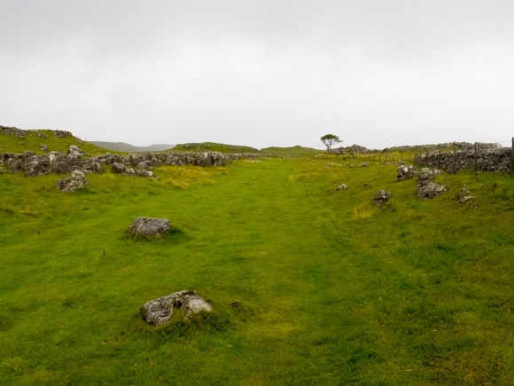
At the end of the grass route, you will find another stile in the stone wall. Climb over the stile.
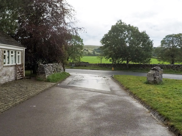
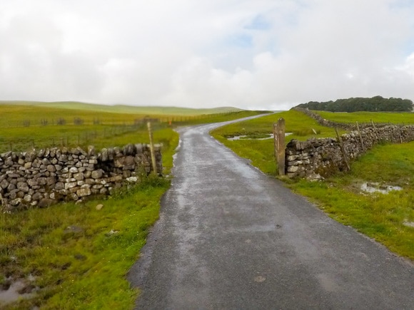
Join the main road leading to the left.
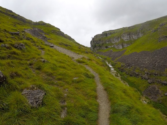
Turn right onto the gravel path.
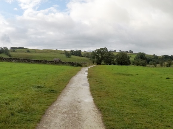
The gravel path leads to Malham Tarn.
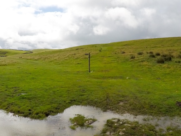
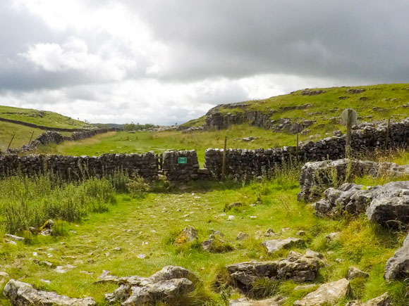
You will reach a signpost and gate. You can go through the gate if you wish to take in more of Malham Tarn – you will need to come back on yourself to continue to Malham Cove. You will still pass Malham Tarn on the way to Malham Cove.
To continue towards Malham Cove, follow the signpost across the grass towards the stone wall.
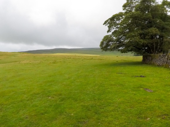
You will reach Malham Tarn after a few minutes.
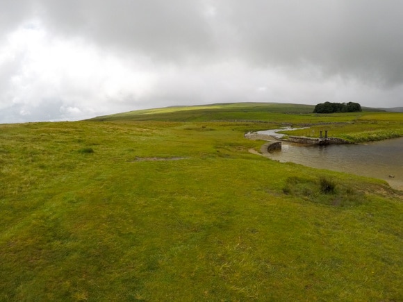
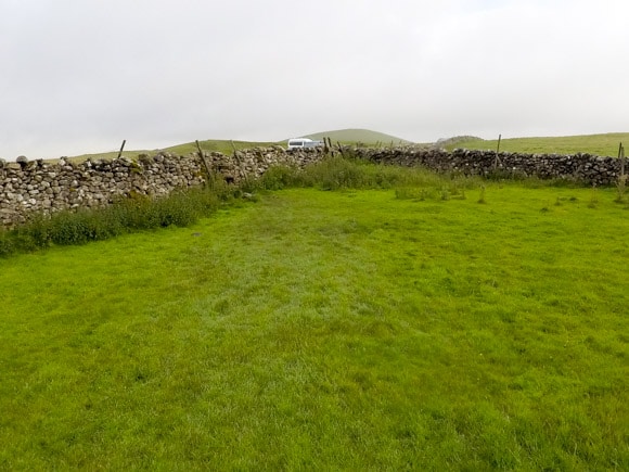
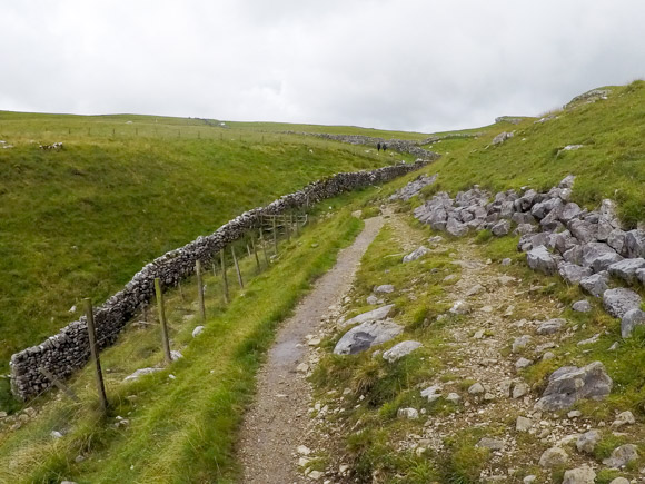
Keep following the grassed route. You will pass Watersinks Car Park.
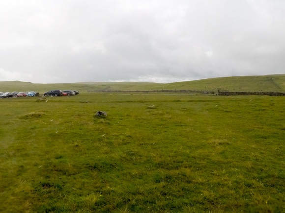
Keep right of the Watersinks Car Park and head for the road.
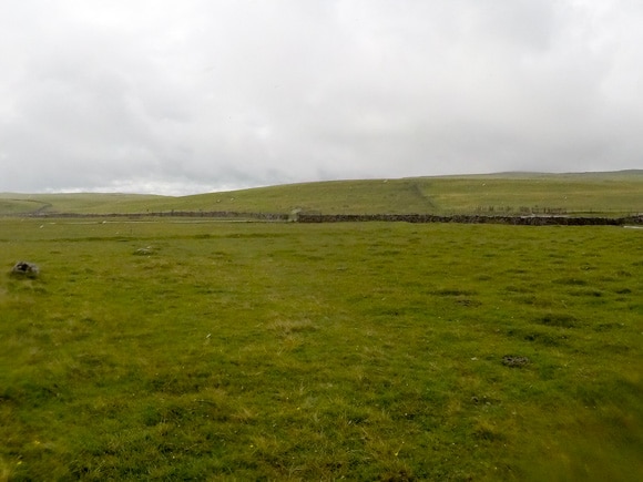
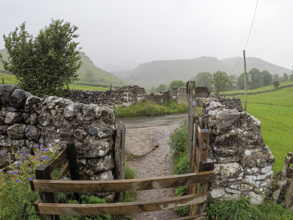
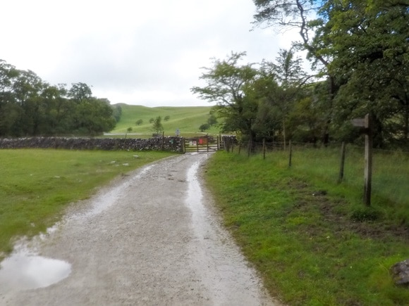
Turn right onto the road and pass through the stone wall.
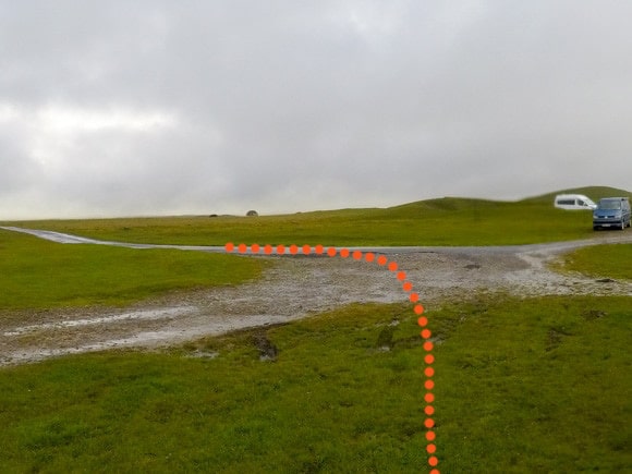
Head left through the gate and signpost for Malham Cove.
The next signpost highlights the way for Malham Cove and the Pennine Way.
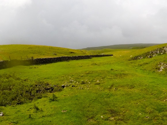
Head right at the stone wall.
Step over the wooden stile and follow the decline.
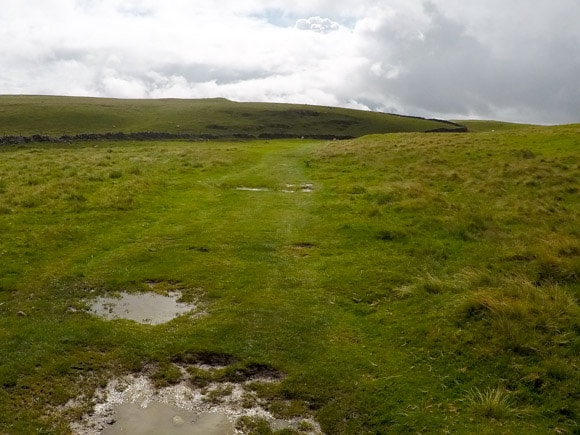
The route is easy to follow to Malham Cove.
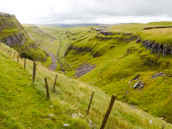
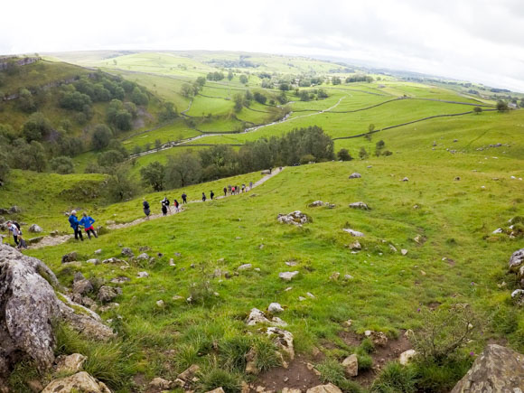
Pass through the hole in the stone wall and keep heading in the same direction. You will shortly arrive at the top of Malham Cove.
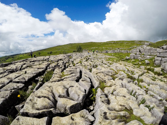
The top of Malham Cove is a limestone pavement. It almost looks man made, but the limestone formation was created naturally in the last Ice Age, over 12000 years ago.
To come down from Malham Cove, cross over the limestone to the stairs. This tends to be a busy area as the stairs are used for visitors coming both up and down Malham Cove from Malham Village.
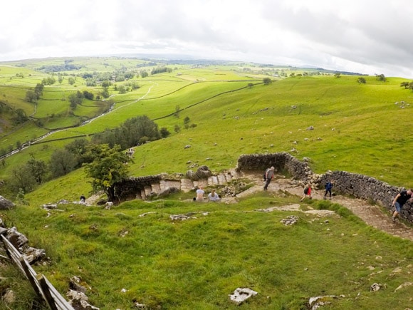
At the bottom of the steps, you can head closer to Malham Cove and appreciate the height of Malham Cove from Malham Beck.
Follow the gravel path away from Malham Cove.
Keep following the road back to Malham Village. It will lead directly to the car park at the Malham National Park Centre.
That’s the end of the Janet’s Foss, Gordale Scar and Malham Cove walk!
Frequently Asked Questions
What equipment do you need to complete Malham Cove and Gordale Scar?
You need the OL02 Yorkshire Dales: Southern and Western Areas OS map to plot your route. You will need warm clothes (it may be cold, even in summer) and a backpack to keep it all in. Visit the hiking equipment page to ensure you have all of the required equipment.
Can you visit Malham Cove all year round?
You can visit Malham Cove on any day of the year. It can be cold and windy due to the open nature of the countryside, especially outside of summer. If you wish to visit Malham Cove in sunshine with chances of better weather, it is recommended to plan your trip between April-September.
Is Malham Cove in Harry Potter?
Yes, Harry and Hermione are at the top of Malham Cove in Harry Potter and the Deathly Hallows.
How hard is Gordale Scar?
Gordale Scar is difficult for those who are not used to climbing or scrambling. The rocks can be slippery to grip with your hands or shoes. To complete Gordale Scar, ensure you are comfortable with heights and have good balance and coordination. If you can hold your own bodyweight, you shouldn’t have a problem with Gordale Scar.
Is Malham Cove an easy walk?
If you’re walking directly to Malham Cove from Malham Village, it is an easy walk, with a short section of steps to the top of Malham Cove which may require a few rest stops for those not familiar with hiking.
This guide takes the scenic route to Malham Cove via Janet’s Foss and Gordale Scar. The walk isn’t strenuous, but scrambling up Gordale Scar may be above some hiker’s difficulty level. The bypass walk of Gordale Scar takes roughly 1 hour and can be steep in areas.
What can I do if I cannot complete Gordale Scar?
There is an alternative route to Malham Tarn which bypasses Gordale Scar. You can also go straight to Malham Cove from Gordale Scar without visiting Malham Tarn.
Can you complete the Malham Cove walk in trainers?
It is not recommended to complete Malham Cove in trainers, but many people do. It’s not recommended to use trainers if you particularly want to complete Gordale Scar.
Is Malham Cove suitable for dogs?
Yes, dogs are allowed in the Yorkshire Dales and on the Malham Cove route. You will see plenty of dogs on your Malham Cove walk, regardless of the route you take.
During the breeding season of spring and early summer, new-born lambs and ground-nesting birds are particularly vulnerable to harm from dogs. Always use a short lead if you can’t rely on your dog’s obedience.
How many steps are at Malham Cove?
There are approximately 400 steps leading up/down Malham Cove. The route provided here takes you down the 400 steps. The steps can be busy, as many walkers come up and down the steps for their visit, but there is ample room to have a short rest.
Can you swim in Malham Tarn?
No. Swimming is not allowed in Malham Tarn. There are signs advising that swimming is prohibited around Malham Tarn. Due to the important nature and geology of Malham Tarn the National Trust do not allow people to swim due to the increase in pests and diseases from humans swimming in the Tarn. Potentially toxic blue-green algae can also be found in Malham Tarn.
How much food/water will I need to take?
A backpack is required to carry enough food and drink for the 4-hour hike. It is recommended to take at least 2 litres of water. The weather and temperature needs to be taken into consideration and adjust the required amount of water as necessary. A hot day will require more fluids.
Is Malham Cove free to complete?
Visiting Malham Cove, Gordale Scar and Janet’s Foss is free to complete.
How many people visit Malham Cove each year?
The Yorkshire Dales National Park Authority estimate that 185,000 people visit Malham Cove each year.
Are there any toilets on the Malham Cove route?
There are public toilets in the Malham Cove car park. There are no other toilets on the route.
Do you need any specialist climbing equipment for Malham Cove?
No. You complete Janet’s Foss and Malham Cove by walking. There is some scrambling required at Gordale Scar but no climbing equipment is required.
Do you need a guide to complete Malham Cove?
No. You can arrange your own walk with a map and compass. If you wish to attend a guided walk, contact Lost Earth Adventures.
Download the Janet’s Foss, Gordale Scar and Malham Cove eBook
The eBook will guide you through the Janet’s Foss, Gordale Scar and Malham Cove route, step by step. No getting lost!
Risk Free
100% refund if you are unhappy with the ebook
View more information